SPC 1300Z Day 1 Outlook
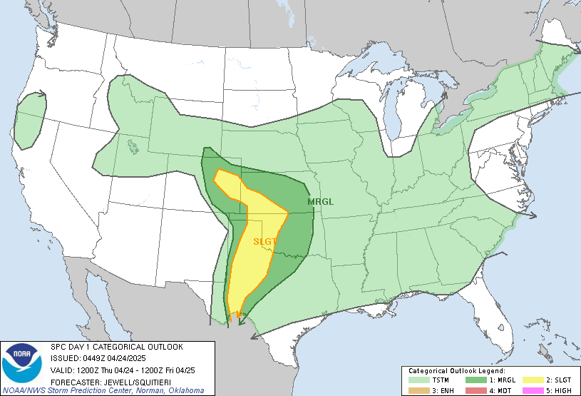
Day 1 Convective Outlook
NWS Storm Prediction Center Norman OK
0737 AM CDT Mon Sep 30 2024

Valid 301300Z - 011200Z

...NO SEVERE THUNDERSTORM AREAS FORECAST...

...SUMMARY...
Severe thunderstorms are not expected today, though a few strong
storms may affect central/eastern North Carolina.

...Synopsis/Discussion...
The main belt of mid/upper-level, midlatitude westerlies will
continue to traverse the northwestern/north-central CONUS and
central/southwestern Canada, buckled cyclonically around a prominent
synoptic trough now located from eastern SK to central MT and
western WY.  This trough should phase with another now over central
mainland Arctic Canada by the end of the period, resulting in a
500-mb low over southeastern Nunavut, with trough trailing over
western Hudson Bay, northwesternmost ON, MN, and IA.

Strongly difluent flow aloft will take shape southeast of the
trough, across the Mississippi Valley, the Great Lakes from
Michigan/Huron on down, the Ohio Valley, and much of the
Appalachians.  As that occurs, a longstanding, filling, weakening
low now over southwestern WV will devolve today to an open-wave
trough, losing amplitude rapidly and drifting eastward over the
central Appalachians through the period.  Part of a basal shortwave
trough/vorticity lobe -- now apparent in moisture-channel imagery
over eastern TN -- will eject eastward across northern NC and
southern VA from this afternoon through tonight.

At the surface, 11Z analysis showed a quasistationary front across
northern SC to just south of the southern Outer Banks, extending
from a triple-point low near CAE.  This boundary should shift
northward over central/eastern NC through the day.  Meanwhile, a
cold front -- related to the strong northern-stream trough -- was
drawn from central/southern MB across southern ND, central SD,
northwestern NE, and southern WY.  This front should sweep across
most of the Great Plains and upper Mississippi Valley through the
period, reaching northern Lower MI, IL, southwestern MO, southern
OK, and the TX South Plains by 12Z.

...Central/eastern NC...
Widely scattered showers and thunderstorms are expected to develop
this afternoon over the Piedmont and coastal plain, in an
environment characterized by rich boundary-layer moisture (surface
dewpoints commonly in upper 60 to mid 70s F) very weak ambient
MLCINH easily removed by diurnal heating, but weak mid/upper-level
lapse rates.  This will result in 500-1200 J/kg MLCAPE over most of
the area from he Piedmont to the Sounds, beneath a belt of
sufficiently strong mid/upper flow to yield around 35-45-kt
effective-shear magnitudes.

Low-level hodographs over central/eastern NC this afternoon, from
model forecast soundings, reasonably show curvature near the frontal
zone, but with weak speeds in the lowest couple km that
substantially limit SRH and vector shear.  However, above 1 km,
hodographs are somewhat long and straight, suggesting the potential
for low-end supercells amidst the mode common multicellular modes.
At this time, forecast shear appears too weak to support an
unconditional tornado-threat area, but the scenario will be
monitored for any mesoscale enhancement to shear (especially along
boundaries) that may introduce such a risk.  The gust threat appears
subsevere at this time, though localized gusts approaching severe
limits cannot be ruled out.

..Edwards/Broyles.. 09/30/2024
Read more
 RSS Feed